Moore’s Mill - GHM 060-64 – Fulton Co., GA.
Posted by:  Lat34North
N 33° 49.583 W 084° 26.534
16S E 736713 N 3745848
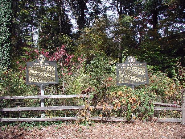
Moore’s Mill State Historical Marker located on the north side of Moores Mill Road east of Peachtree Creek, Atlanta, GA.
Waymark Code: WM2J89
Location: Georgia, United States
Date Posted: 11/10/2007
Views: 28
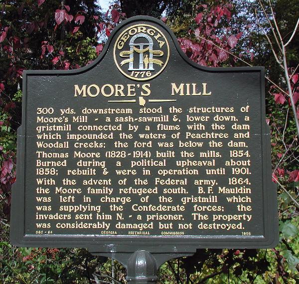 MOORE’S MILL
300 yds downstream stood the structures of Moore’s Mill ~ a sash-sawmill &, lower down, a gristmill connected by a flume with a dam which impounded the waters of Peachtree and Woodall creeks: the ford was below the dam.
Thomas Moore (1828-1914) built the mills, 1854. Burned during a political upheaval about 1858; rebuilt & were in operation until 1901. With the advent of the Federal army, 1864, the Moore family refugeed south. B.F. Mauldin was left in charge of the gristmill which was supplying the Confederate forces; the invaders sent him N. ~ a prisoner. The property was considerably damaged but not destroyed.
GHM 060-64 - Georgia Historical Commission - 1956
One of two markers at this location.