
Great Allegheny Passage - Ramcat Access - Confluence, Pennsylvania
N 39° 49.592 W 079° 22.611
17S E 638904 N 4409764
The Ramcat Access of the Great Allegheny Passage is located in Ohiopyle State Park, Henry Clay Township, Fayette County, Pennsylvania
Waymark Code: WM1D5J
Location: Pennsylvania, United States
Date Posted: 04/09/2007
Views: 36
Great Allegheny Passage - Ramcat Access - Confluence, Pennsylvania
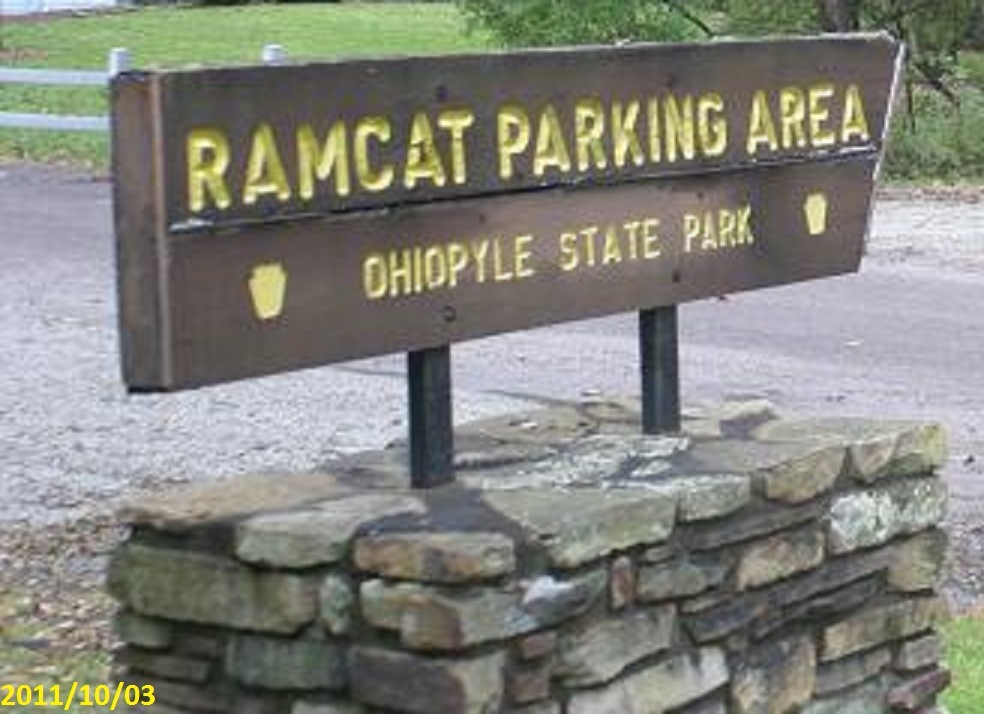
This is the first trailhead in Ohiopyle State Park and the first section of the Great Allegheny Passage Trail System. Built in the 1980's, by then Ohiopyle Park Superintendent Larry Adams, who built the trail in sections until it reached the Borough of Ohiopyle. When the eleven-mile section from Ramcat to Ohiopyle was completed in 1986, It would not be known that seventeen years later that a 100-mile continuous trail from Mckeesport to Meyersdale would be completed. Until 2001, the trail ended here until the Confluence to Fort Hill section was completed.
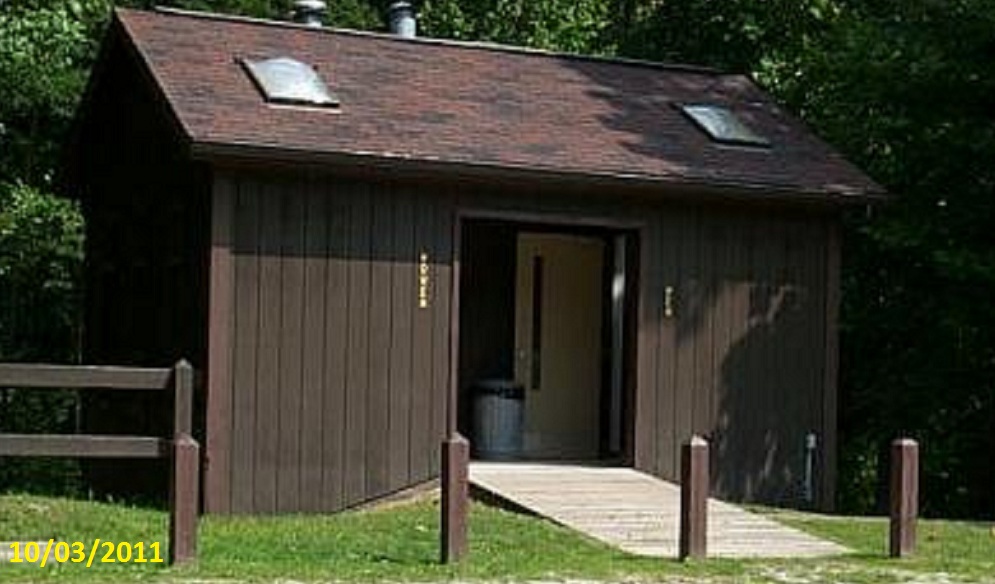
There are rustic restrooms here for trail and river users
Ohiopyle State Park Maintenance crews maintain the trail North of here to Bruner Run, 17.5 Miles and 1.8 Miles to the south at State Route 281.
Country: United States

State/Province/etc.: Pennsylvania, Maryland
Trail Start (town): West Homestead (The Waterfront), Pennsylvania
Trail Finish (town): Cumberland, Maryland
Trail Length: 150
Trail Surface: Gravel/Stone
Pack Animals Allowed: no
Fees: no
Internet Link(s):
www.gaptrail.org
http://www.dcnr.state.pa.us/stateparks/findapark/ohiopyle/index.htm
Rail-to-Trail Sign: Not listed
|
Visit Instructions:
A Trail Review
Please tell about the trail conditions the day you were there, If you used the trail please share your experiences. Things to see and do, possible problems etc.
If possible please post a photo of you OR you and interesting things along a trail OR just interesting things along the trail.
Also if you know of any additional Internet links not already mentioned about this rail trail please include that in your log.