Whitewater Creek Bridge - Blue River, BC
Posted by:  T0SHEA
N 52° 11.012 W 119° 14.534
11U E 346709 N 5783821
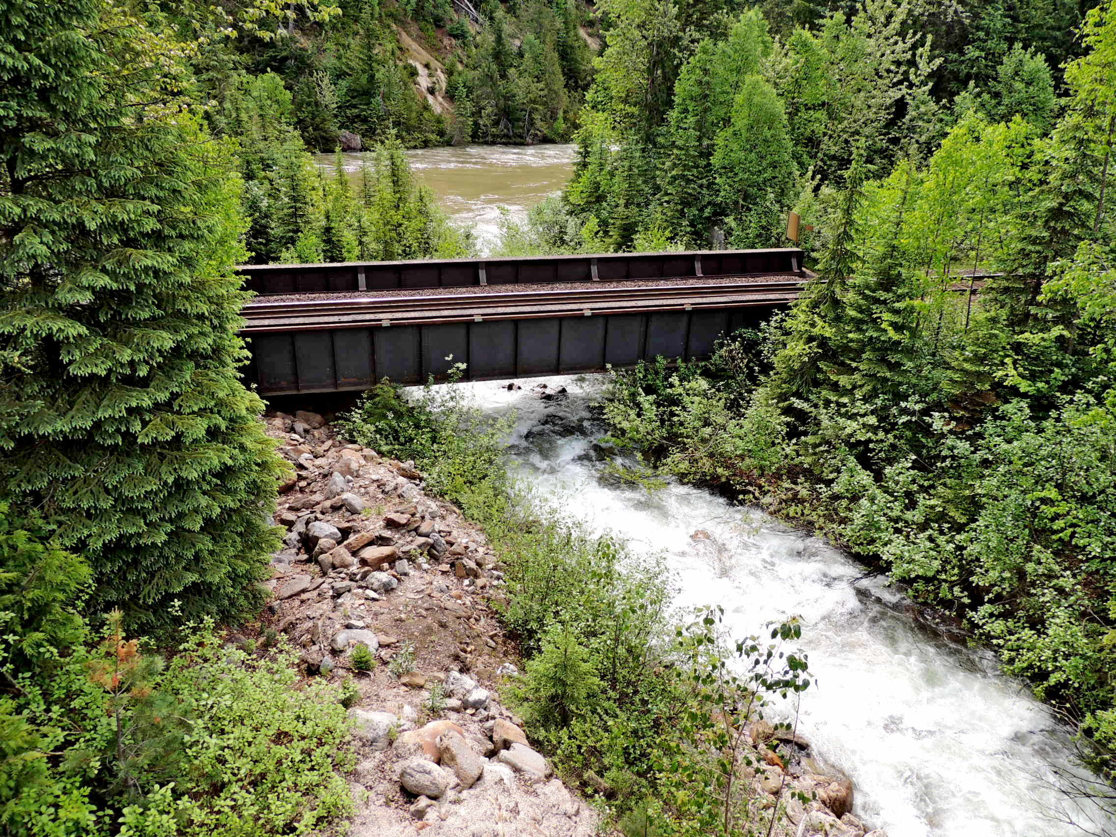
About 9 kilometres north on the Yellowhead Highway from the town of Blue River is Whitewater Creek.
Waymark Code: WM11822
Location: British Columbia, Canada
Date Posted: 09/03/2019
Views: 1
Whitewater Creek flows under the Canadian National tracks just before it empties into the North Thompson River. Here, the Canadian National Railway hugs the western bank of the North Thompson before crossing it about 30 kilometres north and 20 kilometres south. To the south, there are two more crossings before the North and South Thompsons join to become the Thompson River.
This little steel girder bridge was likely built in 1913-1914 when the Canadian Northern was built from Alberta down the Thompson River Valleys and the Fraser Valley, all the way to Vancouver. This would be one of the many small bridges of its type which carried the tracks over the dozens of streams and rivers emptying into the Thompson which the railway had to cross on its tortuous journey down the valley.