BC Water Resources 623 - Little Fort, BC
Posted by:  T0SHEA
N 51° 25.653 W 120° 12.117
10U E 694510 N 5701086
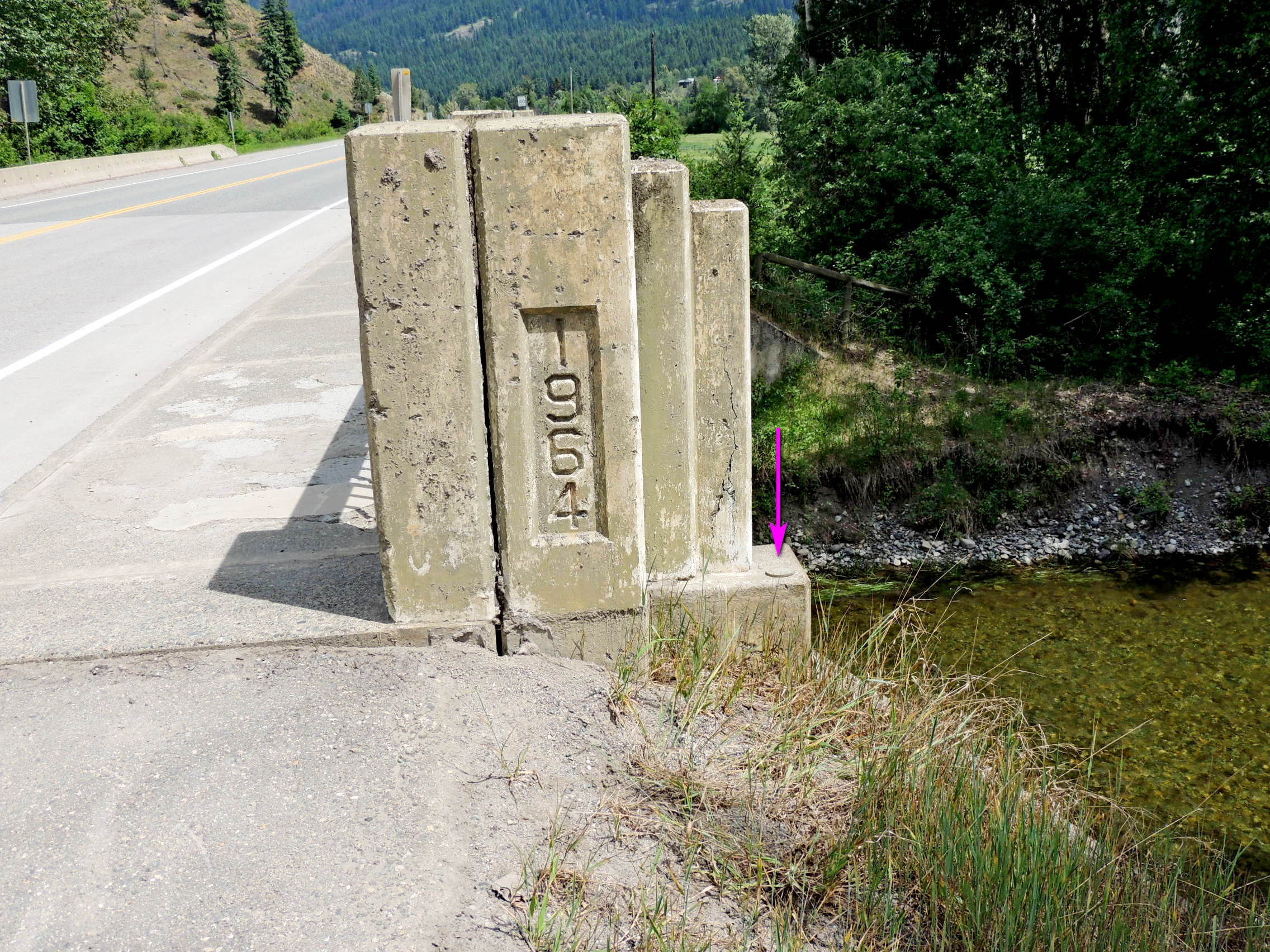
On the bridge over Lemieux Creek, this reference marker is near Little Fort, BC.
Waymark Code: WM11817
Location: British Columbia, Canada
Date Posted: 09/03/2019
Views: 2
Lemieux Creek runs past a rest area beside the Yellowhead Highway bridge over the creek, making it a good place to park to access this marker. The marker is in the top of the abutment at the south corner of the bridge, on the southeast side of the Highway.
This is the reference marker for the hydrometric station on the rest area side of the creek. The station house, with a solar panel and transmitting antenna, is on the west side of the creek, easily seen. The station number given on the station's webpage is 08LB078.